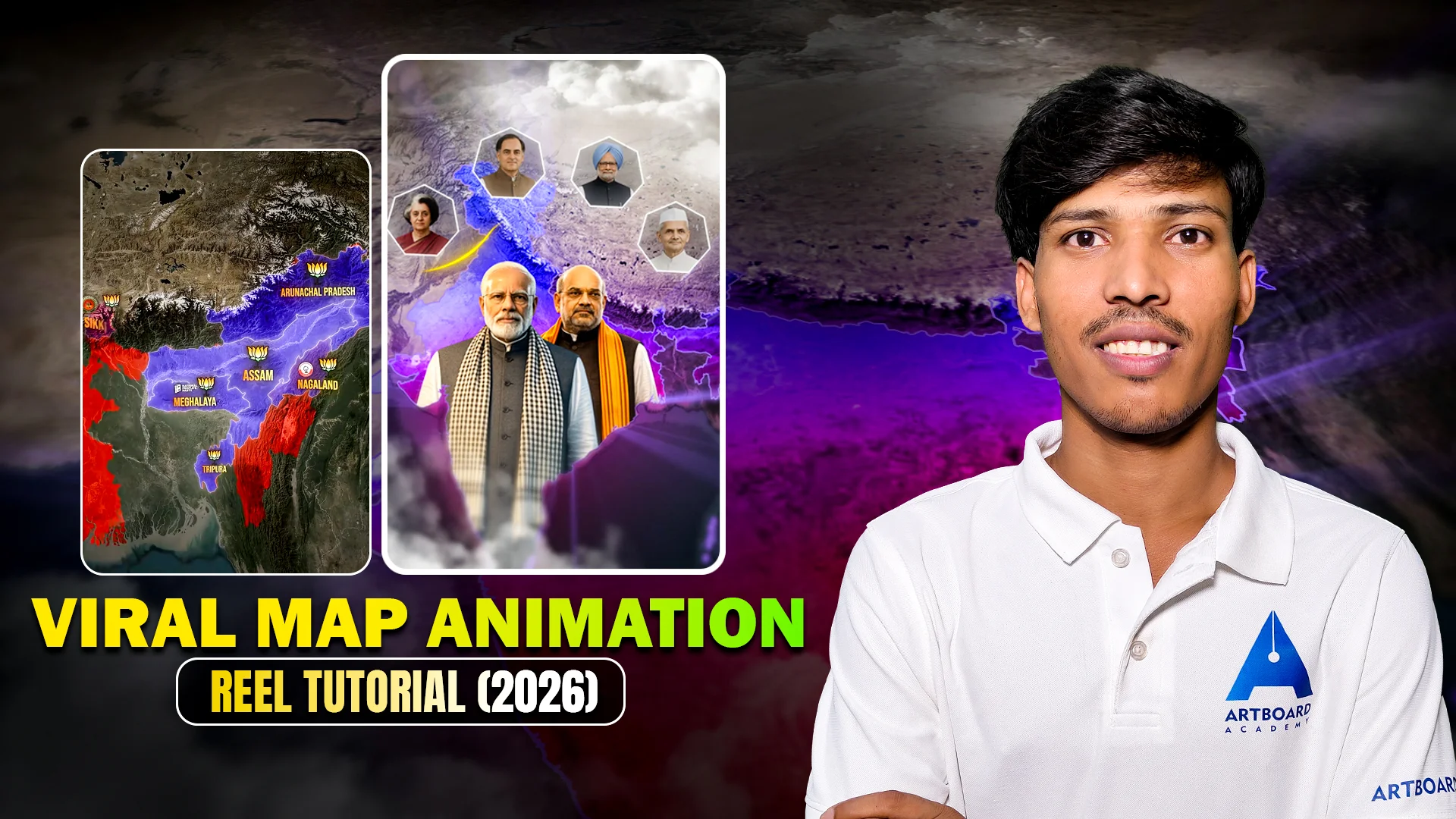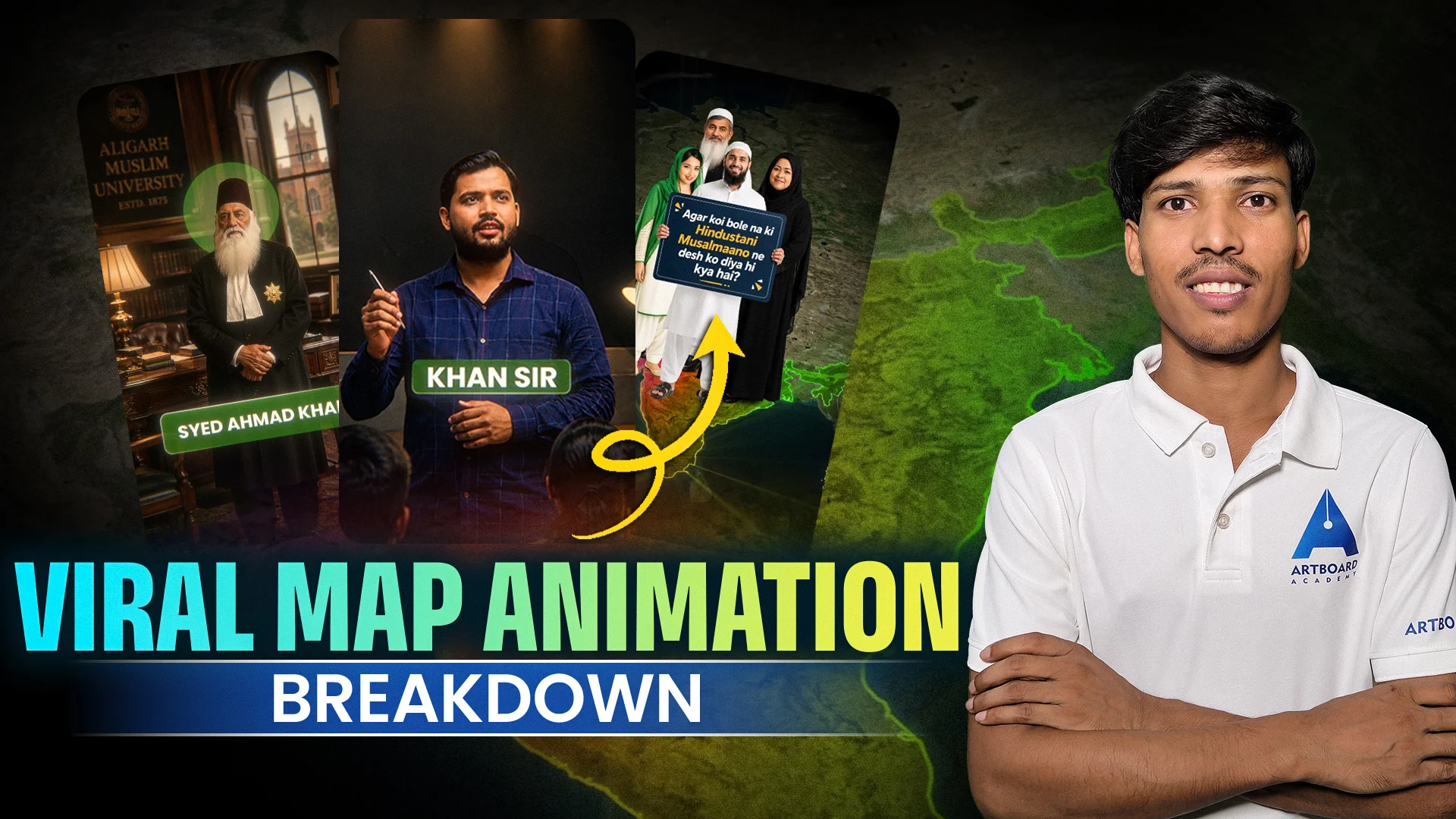
Creating map animations has always been a thriller challenge for motion designers. Whether you’re designing a sequence, a global business story, or a documentary, maps bring a sense and movement that ordinary visuals can’t.
But building those animations manually takes time and accuracy — until GEOlayers changed the game.
What is GEOlayers?
GEOlayers is a plugin for Adobe After Effects that makes creating and animating maps easy. It makes real map data from the world and lets you design routes, regions, labels, and even 3D landscapes — all right inside After Effects.
It is a creative bridge between geography and design.
What GEOlayers Can Do
Here’s how GEOlayers helps motion designers and video creators bring their ideas in a real life:
- Create Realistic Map Animations
Animate paths, travel routes, or story movements across countries and cities with pinpoint accuracy. - Style Your Maps Your Way
You can fully redesign maps using your own bright colors, icons, and shapes to match your project’s theme or brand style. - Import Live Map Data
GEOlayers fetches map visuals from trusted sources like OpenStreetMap and Mapbox, so your visuals are always right and up to date. - Add 3D Camera and Terrain Effects
Move your camera through landscapes, create zoom.ins, and add a cinematic way with After Effects’ built-in 3D tools. - Save Time with Editable Layers
Instead of using still maps, you can easily edit or update any part of your map image anytime.
How GEOlayers Works
Here’s a quick steps of how GEOlayers integrates into your workflow:
- Pick map area…..right inside After Effects.
- Import it as editable layers…..so you can easily make changes later.
- Make travel routes, mark location or highlight regions you want to show.
- Add animations like zoom-ins, rotations, or moving paths.
- Adjust colours, lines and texts to give your map a clean, professional look.
It’s a smooth, intuitive process that eliminates the need for third-party map screenshots or long rendering hours.
Learn GEOlayers Step-by-Step with Artboard Academy
If you’re ready and want to explore GEOlayers in depth, our GEOlayers in After Effects Course at Artboard Academy is designed completely for you.
This course covers everything from installation to creating complex animated maps for real projects.
In course, you’ll learn:
- Setting up GEOlayers and connecting it with live maps data
- Creating travel routes and animated paths
- Styling maps to match your design aesthetics
- Using camera movements and 3D effects
- Integrating map animations into motion design projects
Our approach is beginner-friendly, practical, and focused on for you create portfolio-ready.
Explore the course here: GEOlayers Course at https://artboardacademy.com/
You can also explore our other popular motion design courses:
- After Effects Masterclass
- Motion Design Essentials
- 3D Animation for Designers
Each course is designed to help you build professional-level creative skills with real-world projects.
Final Thoughts
GEOlayers is not just a plugin — it’s a creative tool that turns geographical data into storytelling magic…Trust me it’s an amazing experience.
If you want to add this skill to your motion design journey, now’s the perfect time to begin.
Visit our Artboard Academy to explore full range of motion design and animation courses and start creating stunning visuals with confidence.